- Photos & Map
How would you like to arrive?
- Description
- Good to know
- Nearby
- 7:10 h
- 20.80 km
- 1,385 m
- 737 m
- 1,430 m
- 2,530 m
- 1,100 m
- Start: Andermatt
- Destination: Gotthard Pass
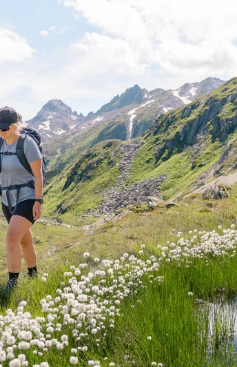
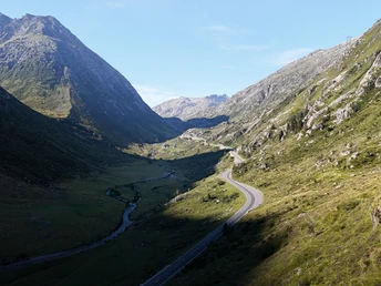
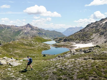
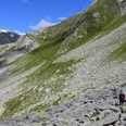
The first stage of the Gotthard Crystal Trek starts in the village centre of Andermatt. From there, the path leads through the village, along the Reuss River, and past the golf course to Hospental. Then begins the steady ascent to the Gatscholalücke. Initially in the shade of the Gotthard Pass Road, then sunnier and increasingly quieter as the engine noises fade away. The incline remains pleasant – an ideal start to a six-day hike. Upon arrival at 2,528 m above sea level, you can enjoy a breathtaking view of the Valetta and Orsirora lakes – ideal for a rest or a refreshing swim. The descent passes the turquoise Lucendro reservoir and finally ends at the Gotthard Pass.
Good to know
Pavements
Best to visit
Directions
Andermatt - Hospental - Gatscholalücke - Gotthard Pass
Directions & Parking facilities
Andermatt is easily accessible from all directions:
- From the north: via motorway A2 and Schöllenenschlucht
- From the south: via A2 and Schöllenenschlucht or over the Gotthard Pass
- From the east: via Oberalp Pass
- From the west: via Furka Pass or with the Furka car shuttle
Parking facilities are available in Andermatt.
The starting point Andermatt is conveniently accessible by the Matterhorn Gotthard Railway. The current timetable can be found at: www.sbb.ch.
Author
Andermatt-Urserntal Tourismus GmbH
Organization
Région de vacances Andermatt
Author´s Tip / Recommendation of the author
The Museo Nazionale del San Gottardo at the pass height offers exciting insights into the history and significance of the Gotthard Pass.
Safety guidelines
Water points are scarce on this stage – be sure to bring enough water.
Nearby


