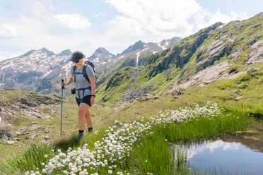
5-Huts Panorama Trail Göschenenalp


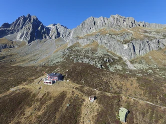
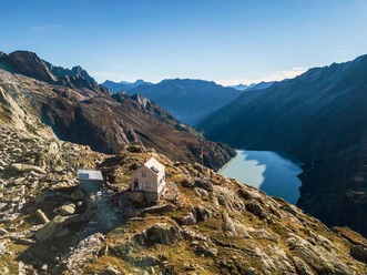
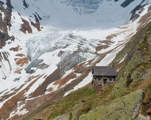
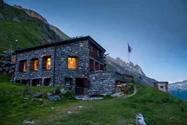
The alpine circular route connects five hospitable and inviting SAC huts. All huts offer a variety of services. From the main valley, the Göschenenalp, you reach the different huts. The huts are also located in the side valleys, the Voralptal, and Chelenalptal.
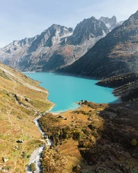
The route starts at the dam of the Göschenenalp Lake. From there, it first goes up to the Damma Hut at 2439 m above sea level and then continues to the Bergsee Hut. From there it goes on to the Voralp Hut and finally to the Salbit Hut. From there you walk back to Göschenen.
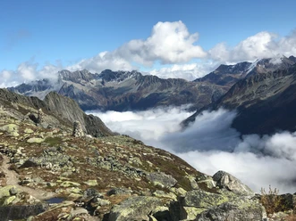
It is a magnificent mountain and glacier world to immerse yourself in. Alpine equipment and a via ferrata set are recommended for the hike.
- 17:00 h
- 41.69 km
- 3,572 m
- 3,572 m
- 1,104 m
- 2,611 m
- 1,507 m
- Start: Göschenen
- Destination: Göschenen
Good to know
Pavements
Best to visit
Directions
Tour information
Cultural Interesting
Loop Road
Nature Highlight
Stop at an Inn
Equipment
- Weather-appropriate clothing
- Good footwear
- Hiking poles are recommended
Directions & Parking facilities
Göschenen is directly accessible via the A2 motorway and therefore very easy to reach.
There are many parking options at the train station in Göschenen as well as in the village near Coop.
Alternatively, you can also park in Andermatt and take the train to Göschenen.
Göschenen and the Göschenenalp are very well connected by train from Ticino as well as Andermatt and the Central Switzerland region in general. The timetable is as follows: SBB Timetable
Additional information
You can find the flyer here: 5-Huts Panorama Trail
Author
Andermatt-Urserntal Tourismus GmbH
Organization
Région de vacances Andermatt
Author´s Tip / Recommendation of the author
- Salbit Bridge
- Göschenenalp Lake
- Goat Paradise Göschenenalp
Safety guidelines
Pay attention to weather forecasts and any possible path closures.
Nearby


Our recommendations
Download GPX file