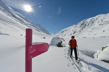
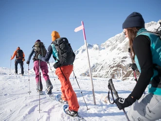
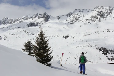
Hospental Trail


After starting at Hospental railway station, parallel to the tracks you soon cross an old arch bridge over the Furkareuss. Following the tracks of the old muleteers, you now follow the historic Furka path on a ridge for a short distance. After crossing the cross-country ski trail, a short ascent begins towards Bielenboden. The view sweeps over the beautiful Urserntal with Andermatt in the background. After a gentle descent, a beautiful ridge follows with a subsequent descent to the Reuss. Following the river upstream, you soon reach Hospental railway station again.
- 2:20 h
- 3.52 km
- 75 m
- 75 m
- 1,441 m
- 1,517 m
- 76 m
- Start: Hospental railway station
- Destination: Hospental railway station
Good to know
Best to visit
Directions
Tour information
Loop Road
Equipment
Poles
- Snowshoes
- Sturdy footwear
Weatherproof clothing including gloves and hat
Map material
Snacks
Emergency blanket / first aid kit
Charged mobile phone
Avalanche equipment (transceiver, probe & shovel)
- Optional headlamp
Additional information
- Matterhorn Gotthard Railway
- Village bus in winter
Author
Andermatt-Urserntal Tourismus GmbH
Organization
Région de vacances Andermatt
Author´s Tip / Recommendation of the author
- Full moon hike
Safety guidelines
- Observe current avalanche situation
- Observe current weather conditions
Nearby


Download GPX file