Melchsee-Frutt - Älggialp - Stöckalp

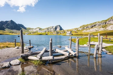
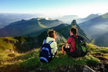
From Melchsee-Frutt, the route starts to Blausee. After a short hiking time, the first climbs begin with views of the intermediate destination Abgschütz. This lies in the middle of the two mountain massifs Hochstollen and Brünighaupt and is also a viewpoint with breathtaking views of the Hocheben Frutt, Seefeldsee, and Älggi as far as Sarnersee. The descent from Abgschütz leads along the demanding but well-secured mountain path to Seefeldsee and further to Älggialp. A detour to the geographic center of Switzerland is recommended. The stone enclosure forms the outline of Switzerland, and on the memorial stone near the pyramid the Swiss people of the year are immortalized. The return goes uphill to Bachegg, further over lush alpine meadows to the hamlet of Innenbach and over the Alp Stepfen to Stöckalp.
Alternative: Descent via the Europaleiter (Pt. 2168) to Seefeldsee (climbing harness and safety equipment required).
- 5:45 h
- 14.39 km
- 735 m
- 1,569 m
- 1,073 m
- 2,229 m
- 1,156 m
- Start: Melchsee-Frutt
- Destination: Stöckalp, Melchtal
Good to know
Best to visit
Tour information
Cultural Interesting
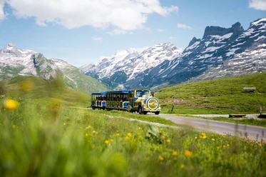
Mountain Railway Tour
Summit
Directions & Parking facilities
Author
Obwalden Tourismus
Organization
Obwalden Tourismus

Nearby