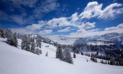
Muotathal - Along the Muota


If you arrive by bus, start at the 'Vordere Brücke' bus stop. If you come by car, park at Rambach. The path always runs on the embankment. On the left, the Wildbach Muota murmurs; on the right, your eyes sweep over the flat valley floor used agriculturally by the farmers. In the background, the mountains rise, giving a sense of why Muotathal is one of the ten largest municipalities in Switzerland by area. After about an hour, you reach the village of Muotathal and its cozy inns. The return to the starting point is by the same route, either on foot or by bus.
- 1:00 h
- 2.76 km
- 31 m
- 592 m
- 623 m
- 31 m
- Start: Rambach (Ried)
- Destination: Hintere Brücke
Good to know
Pavements
Best to visit
Tour information
Familiy-Friendly
Stop at an Inn
Equipment
Sturdy, winter-appropriate shoes with good tread, warm clothing suited to the weather (possibly a hat, gloves, and trekking poles); optionally warm drinks.
Directions & Parking facilities
From the A4 motorway towards Schwyz - Muotathal - Nuschlau bus stop (Rambach)
Parking available in Rambach at the start of the route
Public parking at the Muota schoolhouse
By bus towards Muotathal until the Nuschlau bus stop.
Additional information
Author
Stoos-Muotatal Tourismus GmbH / Region Luzern-Vierwaldstättersee
Organization
Stoos-Muotatal Tourismus
Safety guidelines
The walking and winter hiking paths are not specially signposted. After heavy snowfall, the paths may not always be cleared.

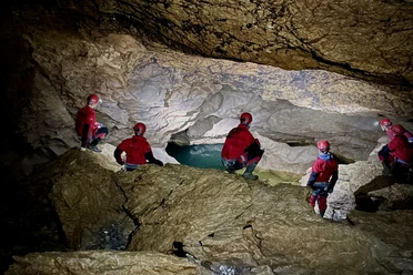
Nearby