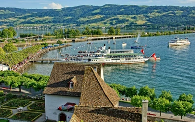
Obersee Experience Trail


The Obersee Experience Trail is a sustainable and unifying experience for the population of the region around the upper Lake Zurich. The themed trail extends over the two cantons of Schwyz and St. Gallen and across a total of seven municipalities. The circular route runs on the existing trail network for hikers (switzerland mobility Route 84, stages 5 and 6), for bike and e-bike riders (switzerland mobility Route 99 stage 9) around the Obersee. To increase attractiveness, you can discover 10 to 20 experience points on the Obersee Experience Trail. These tell connecting and interesting stories from the Obersee region. The goal is to network the various excursion destinations around the Obersee and thus attract young and old to this wonderful region.
- 9:40 h
- 37.38 km
- 274 m
- 266 m
- 404 m
- 612 m
- 208 m
- Start: Freely selectable point along the route
- Destination: Freely selectable point along the route
Waypoints

Good to know
Pavements
Best to visit
Directions
Tour information
Cultural Interesting
Loop Road
Stop at an Inn
Equipment
- Hiking boots or trekking shoes
- Drinks
- Food provisions
Directions & Parking facilities
From Zurich:
- Take the A3 motorway from Zurich towards Pfäffikon Sz.
- Take exit 40 at Pfäffikon Sz.
From Schwyz:
- Take the H8 from Schwyz via Sattel / Rothenthurm / Schindellegi to Pfäffikon Sz.
From Lucerne:
- Take the A4 from Lucerne towards Zug until Sihlbrugg.
- Via Hirzel and then continue on A3 to Pfäffikon Sz.
- Take exit 40 at Pfäffikon Sz.
Pfäffikon Sz: Public parking at the Pfäffikon train station.
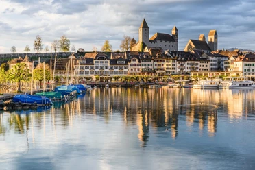
Rapperswil SG: All parking options in Rapperswil can be found here.
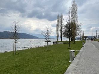
Suggestion: Use public transport from Zurich / Schwyz / Lucerne to Pfäffikon Sz or to Rapperswil and start the Obersee circular route from there.
Additional information
Organization
Schwyzer Wanderwege

Nearby


Download GPX file