Panoramatrail Hummel


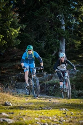
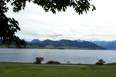
The tour begins at the historic monastery square of Einsiedeln. After an initial climb to Freiherrenberg and a short singletrail descent, the route leads into the wild and secluded valley of the "Grossen Runs", reminiscent of canyons in North America. The highlight of the round is the moment when the view over the Sihlsee opens up to the north and east for the first time near Unterhummel. From this ideal rest spot, the route runs along the forest road of Hanglehne without major elevation differences. The descent down to Unteriberg is easy, and the return ride along the Sihlsee is leisurely. The culinary offerings in Einsiedeln are legendary, ensuring that physical well-being is well catered for after completing the round.
- 4:00 h
- 33.81 km
- 751 m
- 751 m
- 891 m
- 1,421 m
- 530 m
- Start: Einsiedeln or Unteriberg
- Destination: Einsiedeln oder Unteriberg
Good to know
Pavements
- Street (21%)Asphalt (51%)Gravel (18%)Trail (6%)Path (4%)
Best to visit
- suitableDepends on weather
Tour information
Circular trail
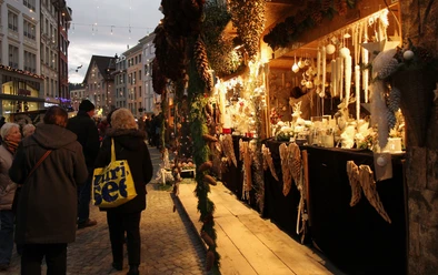
Culturally interesting
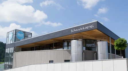
Refreshment stop
Additional information
- Fairtrail Zentralschweiz
In der Zentralschweiz teilen wir uns viele Wege mit Wandernden, Familien oder anderen Naturnutzenden. Mit einem freundlichen Gruss, angepasster Geschwindigkeit und gegenseitigem Respekt sorgen wir gemeinsam dafür, dass Biken hier auch in Zukunft möglich bleibt. Danke, dass du fair unterwegs bist.
Author
Xaver Büeler
Organization
Bikegenoss Zentralschweiz
Author´s Tip / Recommendation of the author
- This route can be easily extended by switching to the lake side after the descent and taking the climb to Wildegg near Studen. From here, there are various descent options to choose from depending on conditions (the shaded slopes on this side can have very deep terrain) and skill level.

Nearby


Download GPX file