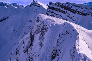
Roggenstock (1,776 m above sea level)


The easy and varied ascent starts directly in the village of Oberiberg, becoming steep only near the summit, so the last meters are usually covered on foot. On the descent, it is advisable to leave the ascent route after 200 vertical meters and take advantage of the magnificent ski slopes that fall to the northwest from there. With low snow coverage, the lowest part of the descent can also be taken down the piste of the nearby Roggen ski lift.
- 2:30 h
- 5.03 km
- 712 m
- 712 m
- 1,065 m
- 1,777 m
- 712 m
- Start: Oberiberg
- Destination: Oberiberg
Good to know
Pavements
Unknown (46%)
Trail (2%)
Path (52%)
Best to visit
suitable
Depends on weather
Tour information
Stop at an Inn
Summit
Additional information
Author
Xaver Büeler
Organization
Schwyz Tourismus
Author´s Tip / Recommendation of the author
In Oberiberg, there is no shortage of sunny terraces to toast your summit success.

Nearby
