- Photos & Map
How would you like to arrive?
- Description
- Good to know
- Nearby
Download GPX file
- 5:30 h
- 16.38 km
- 721 m
- 720 m
- 887 m
- 1,385 m
- 498 m
- Start: Willerzell
- Destination: Willerzell
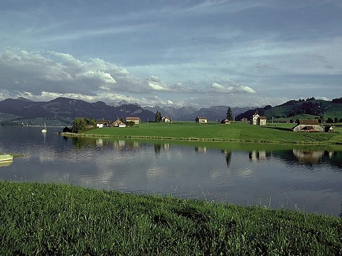
The Postbus takes hikers from Einsiedeln railroad station to the sunny district of Willerzell on Lake Sihl. From there, the route leads a short distance north towards Büel. Shortly before the Grüene Aff campsite, the hiking trail branches off to the right, away from the lake and climbs towards Grueb, continuing to Gueteregg, a very scenic point with a chapel and alpine inn. Now the trail continues more or less along the ridge to Rinderweidhorn and Sattelegg. The Bruder Klaus Chapel stands on the old pilgrimage route from Wägital to Einsiedeln, and nowadays many weddings take place here in the summer months. From May to October, holy masses are celebrated on the second and last Sunday at 11.30 am.
The hike continues in the direction of Chli Aubrig, but halfway along at Chrähwäldli the route turns right, past Hirzegg back towards Sihlsee, via Büel-Alpfärtli-Geissweidli-Fuchsberg-Tschuppmoos back to the Willerzell post office stop.
Good to know
Pavements
Best to visit
Tour information
Loop Road
Stop at an Inn
Equipment
Directions & Parking facilities
Author
Erhard Gick
Organization
Schwyzer Wanderwege
Nearby


