Stöcklichrüz hike


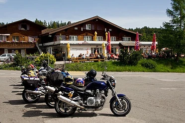
The starting point of the route is on Sattelegg. From the Bergrestaurant Sattelegg, you start on an asphalt road heading towards Stöcklichrüz. In the first part of the route, there is a short ascent followed directly by a descent at the same pace. Then the route continues along a beautiful natural path with some small ups and downs towards Stöcklichrüz. Upon arrival at Stöcklichrüz, you are rewarded with a wonderful view over the whole Lake Zürich region. After a well-deserved break on the viewpoint, the route leads along a beautiful path past the Alpwirtschaft Gueteregg and continues towards Sattelegg. The last part of the route leads back to the starting point of the hike on the same path as the outward journey.
- 3:40 h
- 12.22 km
- 428 m
- 428 m
- 1,156 m
- 1,279 m
- 123 m
- Start: Sattelegg
- Destination: Sattelegg
Good to know
Pavements
Best to visit
Directions
Sattelegg - Vogelherd - Stöcklichrüz - Vogelherd - Alpwirtschaft Gueteregg - Sattelegg
Tour information
Familiy-Friendly
Loop Road
Stop at an Inn
Equipment
- Hiking boots
- Hiking backpack with provisions (drinks + food)
- Map material
Directions & Parking facilities
From Zurich or the Graubünden region:
Take the A3 motorway to the Lachen exit. Then follow the signs towards Vorderthal. Before the village of Vorderthal, turn right onto Satteleggstrasse and then drive up to the pass height.
From Schwyz:
On the main road from Schwyz to Sattel via Biberbrugg to Einsiedeln. At Einsiedeln follow the signs towards Egg SZ and Willerzell. From the village of Willerzell, it goes uphill to Sattelegg.
Sattelegg parking lot
Sattelegg is not connected to the public transport network. However, in summer a shuttle bus runs.
Author
Einsiedeln-Ybrig-Zürichsee Tourismus
Organization
Schwyzer Wanderwege
Author´s Tip / Recommendation of the author
At the end, enjoy a delicious Wägitaler platter at the Bergrestaurant Sattelegg
Nearby


Download GPX file