Stöckalp - Melchsee-Frutt

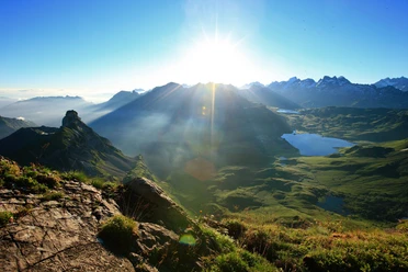
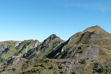
Start directly at the Stöckalp valley station. Past the discOWer rope park, follow the hiking trail along the Cheselenbach stream to the Erzhaus (mid-station of the Cheselen chairlift) near the Upper Stöck. Here the hike continues for a short stretch along the asphalt road to the signpost on the right. From there, enjoy the wonderful hiking path which zigzags through the high alpine forest below the Cheselenflue to the Ziflucht and further to the Aabach pass. Here you meet the mountain road and turn right onto the hiking path towards Aastafel. At Alp Aastafel, cross the road and climb the last stretch uphill to the Dempfelsmatt parking lot. Now across the parking lot and up to Frutt-Dörfli – you have reached your destination.
On foot downhill, it takes about 1 hour 45 minutes.
- 2:30 h
- 5.76 km
- 831 m
- 1,075 m
- 1,900 m
- 825 m
- Start: Stöckalp
- Destination: Frutt-Dörfli
Waypoints
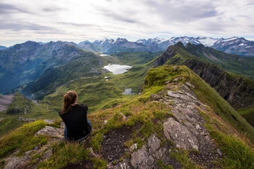
Good to know
Best to visit
Tour information
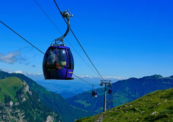
Mountain Railway Tour
Directions & Parking facilities
Author
Obwalden Tourismus
Organization
Obwalden Tourismus
Author´s Tip / Recommendation of the author

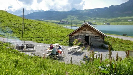
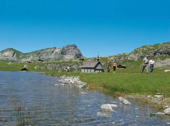
Nearby