The Walenpfad


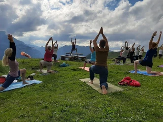
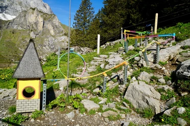
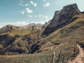
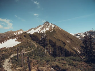
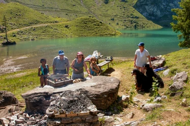
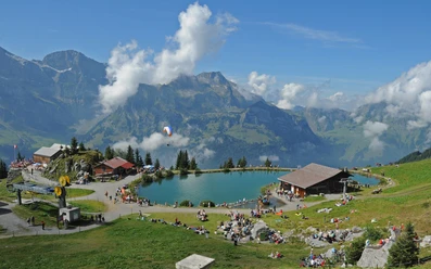
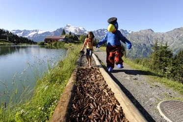
The hike starts at the Bannalp mountain station with the ascent to Walenegg – the highest viewpoint of the Walenpfad. Near the end of the route, tired hikers can refresh themselves at the Brunnihütte with an Älperzneyni. On the “Kitzelpfad” around the nearby Hätzli lake, you wade over moor, gravel, wood chips, and stones and enjoy the tingling feeling of natural relaxation. Afterwards, a short descent to Ristis follows (chairlift as an alternative).
- 3:55 h
- 11.19 km
- 561 m
- 671 m
- 1,598 m
- 1,953 m
- 355 m
- Start: Bannalp (Oberrickenbach)
- Destination: Ristis (Engelberg)
Waypoints
Good to know
Pavements
Best to visit
Directions
(Oberrickenbach –) Bannalp – Alp Oberfeld – Walegg – Brunni – Ristis (– Engelberg)
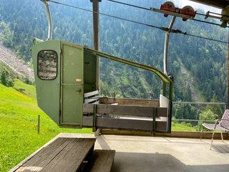
At the beginning and end of this panoramic hike, we use the cable car to Bannalp and from Ristis down to Engelberg. But not all altitude differences are overcome this way: 561 meters ascent and 671 meters descent on the well-secured mountain path need to be mastered – a unique alpine experience for (almost) everyone.
Tour information
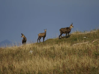
Nature Highlight
Equipment
Good equipment including rain and thermal protection is recommended.
Additional information
For tourist information and further routes, visit nidwalden.com/wandern
Author
Nidwalden Tourismus
Organization
Nidwalden Tourismus
Author´s Tip / Recommendation of the author
A round-trip ticket covering all trains can be purchased at Zentralbahn.
Nearby