Turren-Mändli


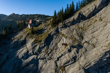
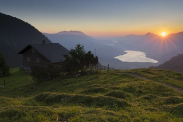
From the mountain station, the path leads down the alpine road to Alp Dundel and up to Dundelegg. At the alpine hut, the mountain hiking trail branches off to Rückenegg, a wonderful, easy ridge walk. In view, you can already see the unique cross on the Mändli. It’s worth taking a longer break there to admire the great view of the mountain world around the Sarneraatal from Lucerne over Nidwalden, Obwalden and Bern.
Do you know the story of the summit cross made from the four basic elements? Earth, built from limestone / Water, to bind the mortar / Fire, where the iron was forged / and for the air a hole was bored in the round wooden disc to integrate the fourth element! (Created by the Mändli-Chrizler from Giswil in 2003)
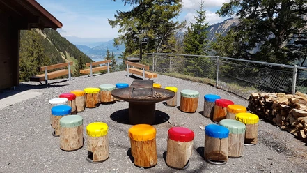
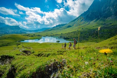
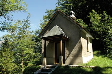
From the impressive summit cross of the Mändli, the ridge walk continues up to Biet and from there over the alpine pastures to Schönbüel. The return route leads via the charming alpine village Breitenfeld with the worth-visiting Jakob chapel, without much effort back to the starting point Turren. The sun terrace of the Restaurant Turren invites you to a well-deserved break before taking the cable car back down to the valley.
- 4:00 h
- 9.50 km
- 668 m
- 671 m
- 1,452 m
- 2,108 m
- 656 m
- Start: Mountain station Lungern-Turren-Bahn
- Destination: Mountain station Lungern-Turren-Bahn
Waypoints
Good to know
Best to visit
Tour information
Loop Road
Directions & Parking facilities
Additional information
Author
Obwalden Tourismus
Organization
Obwalden Tourismus

Nearby
Download GPX file