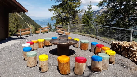
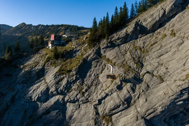
Turren - Schönbüel


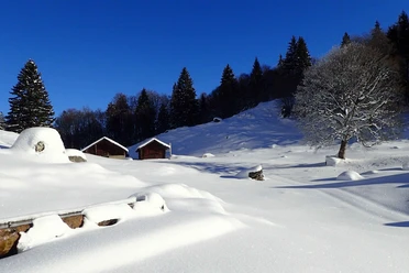
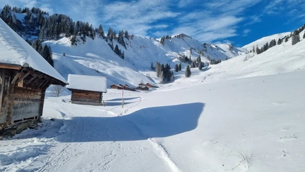
Thanks to the favorable elevation with start and finish at the mountain restaurant Turren (1550 m above sea level), this trail often offers a view over the sea of fog. After a deep glance into the valley basin of Lungern, you trudge along the snowy mountain path southwest around the Finsterbüel. In the Chuematt, the winter hiking trail and the snowshoe path split. The latter leads over the Fritte, which allows a safe crossing of the steeply descending Lauibach ravine.
Soon, the extensive Usseri Alp invites you to a gentle ascent to the Tüfengrat. This, together with the Scheidegg, forms the canton border between Obwalden and Bern. At the lowest point, an impressive view of Lake Brienz awaits. Like in a white arena, the snowshoe track then winds eastwards again in a large arc up to the Bärghuis Schönbüel (2020 m above sea level), which is already visible from afar. After the last steep climb, a rest is well deserved.
The path leads back along the former ski slope through the picturesque little mountain hamlet Breitenfeld, from where one of the most beautiful and largest high alpine pastures of Obwalden is managed in summer. During the descent, a last pause is worthwhile at the Lueg, a strategic point for watch and signal service during medieval border disputes.
- 3:31 h
- 8.14 km
- 508 m
- 509 m
- 1,513 m
- 2,012 m
- 499 m
- Start: Turren mountain station
- Destination: Turren mountain station
Waypoints
Good to know
Best to visit
Additional information
Snow report:
Current information on the snow conditions can be found on the website of the Swiss Federal Institute for Snow and Avalanche Research SLF
Signposting:
The route is marked in only one direction according to ASTRA/Swiss Hiking Federation/bfu guidelines: Turren-Tüfengrat-Schönbüel-Turren
Author
Obwalden Tourismus
Organization
Obwalden Tourismus
Nearby