Vitznauerstock / Gersauerstock: alternative route

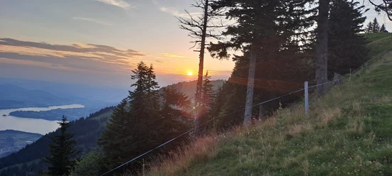
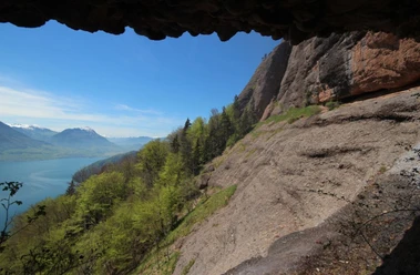
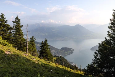
From Rigi Scheidegg, initially hike in the direction of Nüobermatt. The path leads through picturesque alpine meadows and forests, marked by clearly visible hiking trails. After about 30-45 minutes you reach Nüobermatt. From Nüobermatt, continue your hike towards Fälmisegg. The path continues through varied landscapes, including forested areas and open spaces. The route is well marked and offers beautiful views. After about another hour you reach Fälmisegg. From Fälmisegg, the path ascends more steeply towards Vitznauerstock. The climb passes through denser forest and offers spectacular panoramic views of the surrounding landscape. After about another hour you finally reach Vitznauerstock, where you are rewarded with a breathtaking view of Lake Lucerne.
The return route takes us over Ober Urmi / Gsäss back to Fälmisegg and then the same way back to Rigi Scheidegg.
- 5:20 h
- 11.96 km
- 980 m
- 980 m
- 933 m
- 1,640 m
- 707 m
- Start: Rigi Scheidegg
- Destination: Rigi Scheidegg
Waypoints
Good to know
Pavements
Best to visit
Tour information
Loop Road
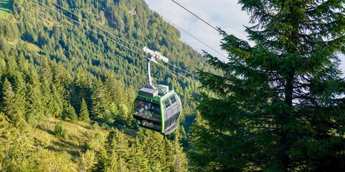
Mountain Railway Tour
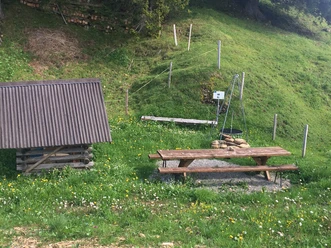
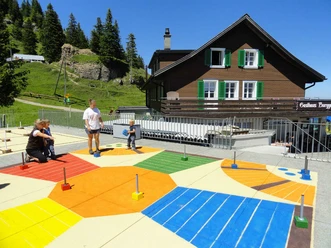
Stop at an Inn
Equipment
Sturdy footwear and weather-appropriate clothing recommended.
Directions & Parking facilities
Highway A4 exit Goldau
Parking lot A4 or parking lot Kräbel valley station of the aerial cableway
Goldau station then by the Rigibahn to Kräbel and subsequently by the aerial cableway Kräbel-Rigi Scheidegg
Author
Schwyzer Wanderwege
Organization
Schwyzer Wanderwege
Safety guidelines
Please note the trail closures in the Hinterbergen area due to landslides. On the specified route, walking on the Gersauer/Vitznauer Stock is safe.
The path over the Gersauer/Vitznauer Stock is secured with ropes. On the side towards Fälmisegg there is a ladder.
Nearby
Download GPX file