WanderWunder Schwyz: Riemenstalden Lidernen
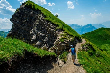
In Riemenstalden at the valley station of the Chäppeliberg-Spilau aerial cableway, the hike starts comfortably and follows gently ascending paths and service roads. Shortly before the pass crossing “Höchi” you leave the pass trail and take the steep ascending path, which is also used for cattle drives. On the right and left of the path, wild forest-karst landscapes alternate with open alpine pastures. In the “Tritt” area, the bizarre rock formations of the karst also intersect the meadows.
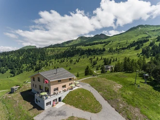
The path passes under the Schmalstöckli, which rises like a lonely steep tooth in the landscape, and finally reaches the Lidernen Hut. This invites you to linger with its simple, original charm. From the terrace, you enjoy the view of Brunnen and Lake Lucerne. Before the short walk to the mountain station of the Chäppeliberg-Spilau cable car, the gaze also likes to linger on the climbing garden next to the hut.
- 2:21 h
- 5.84 km
- 570 m
- 45 m
- 1,183 m
- 1,738 m
- 555 m
- Start: Valley station LSB Chäppeliberg-Spilau
- Destination: Valley station LSB Chäppeliberg-Spilau
Good to know
Pavements
Best to visit
Directions
Tour information
Loop Road
Mountain Railway Tour
Stop at an Inn
Equipment
Directions & Parking facilities
The post bus runs twice a day between Sisikon, station and Riemenstalden, Chäppeliberg
Here is the timetable
Additional information
Descent with the Chäppeliberg-Spilau aerial cableway possible. To the website of the aerial cableway
Author
Schwyzer Wanderwege
Organization
Schwyzer Wanderwege
Author´s Tip / Recommendation of the author
Nearby
Download GPX file