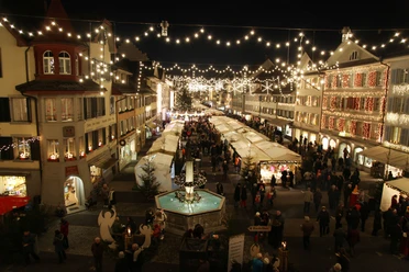
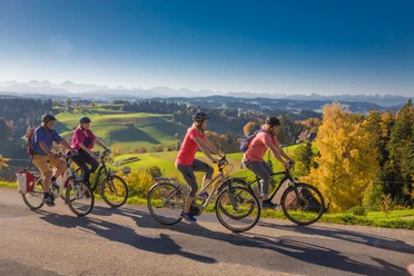
Bike round route Willisau-Menzberg


Except for two short difficult sections, this route is relatively easy in terms of distance, as it often runs on roads and forest tracks. However, the challenges are the steep inclines and elevation meters to overcome.
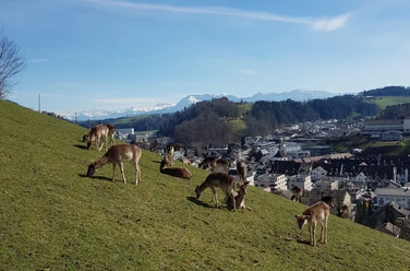
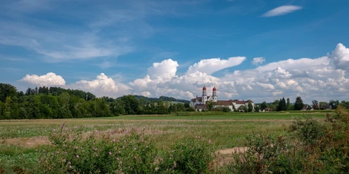
The route starts in Willisau and follows the ridge over the Foothill to the chapel St. Joder. Then it goes uphill to Menzberg, the highest village in the Napf area. From there, it goes steeply downhill into the Fontannental to Paradiesli and then steadily winding uphill again to Chrutoose at 1060 meters. The path continues past the Chrotthütte, SAC hut of the Napf section, over the Gmeinalp and then towards the valley floor through the hamlet Hübeli to the herb village Hergiswil. The last stretch leads leisurely along the Wigger river back to Willisau.
- 4:00 h
- 36.84 km
- 1,036 m
- 1,036 m
- 554 m
- 1,070 m
- 516 m
- Start: Willisau, train station
- Destination: Willisau, train station
Waypoints

Good to know
Best to visit
Directions
Willisau - St. Joder - Menzberg - Chrutoose - Hübeli - Hergiswil - Willisau
Tour information
Loop Road
Stop at an Inn
Directions & Parking facilities
Additional information
Bicycle and e-bike rental station Rent a Bike in Willisau
Author
Willisau Tourismus
Organization
Willisau Tourismus
Author´s Tip / Recommendation of the author
Landgasthof Hotel Menzberg (closed Monday & Tuesday)
Gasthaus Kreuz Hergiswil (closed Monday)
Nearby


Download GPX file