Flühmatt Trail

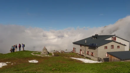
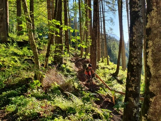
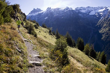
After the monastery, past the cemetery, we cross the Ochsenmatt up to the boat to the Flühmatt, from where a wonderful view and the world's best Älplermagronen are waiting for us. Rockier downhill run into the valley.
- 1:19 h
- 5.30 km
- 448 m
- 448 m
- 1,004 m
- 1,416 m
- 412 m
- Start: Gmeinegg
- Destination: Engelberg
Waypoints
Start
Destination
Good to know
Pavements
Street (8%)
Asphalt (13%)
Trail (4%)
Path (75%)
Best to visit
suitable
Depends on weather
Directions
Gmeinegg, Oberes Bord, Flühmatt, Zelgli, Engelberg
Tour information
Loop Road
Additional information
Restaurant Flühmatt: https://brunni.ch/26/en/restaurant-fluhmatt
Author
Engelberg - Titlis Tourismus
Organization
Engelberg-Titlis Tourismus
Author´s Tip / Recommendation of the author
The monastery and the "Älplermagronen" in the restaurant Flühmatt.
Nearby


Download GPX file