Gitschital Bike - 404 Switzerland Mobility


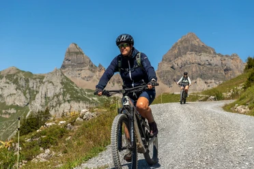
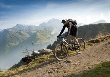
From Altdorf station, head north to Wild Ried and then west on a field path to Unterdorf. Besides a visit to the A Pro castle and its mineral exhibition, an additional loop to Lake Uri with its bathing islands called Lorelei is recommended. After the turnoff at St. Lazarus monastery, whose origins date back to the Middle Ages and is the oldest monastery in the canton of Uri, the route steadily climbs to the Gitschital forest road. This winding road with steep climbs is quite challenging. Before entering the tunnel into the Gitschital, you should definitely stop at the Stotzigen viewpoint – the view of the Reuss delta is breathtaking. The last 3 kilometers lead through cool forest sections and alpine pastures before reaching the Gitschitaler Boden, the highest point of the route.
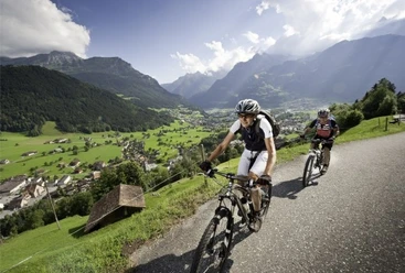
On the same way, take the descent to Bodenwald under your wheels. Then head south via the baron village, with a view of the historic castle ruins of Attinghausen, back to the starting point.
Note
The route is continuously signposted with number 404.
- 3:00 h
- 24.43 km
- 860 m
- 860 m
- 434 m
- 1,301 m
- 867 m
- Start: Altdorf, Station
- Destination: Altdorf, Station
Good to know
Pavements
Best to visit
Directions
Tour information
Loop Road
Directions & Parking facilities
Additional information
Author
Uri Tourismus AG
Organization
Bikegenoss Zentralschweiz
Author´s Tip / Recommendation of the author
Castle restaurant A Pro with mineral exhibition in Seedorf
Bathing islands Lorelei in the Urner Reuss delta
Nearby


Download GPX file