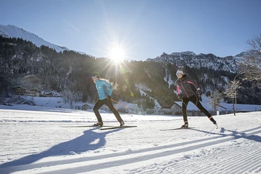
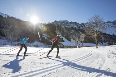
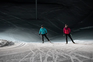
Golf trail


The golf trail with start and finish at the golf clubhouse runs over the Engelberg golf course and leads over varied terrain with shorter and longer ascents and descents to the valley station of the Fürenalpbahn and back. The idyllic landscape surrounded by Titlis and Spannörter offers a magnificent backdrop.
- 0:35 h
- 4.27 km
- 76 m
- 23 m
- 1,040 m
- 1,096 m
- 56 m
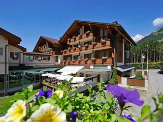
- Start: Golf clubhouse – can be reached by the free sports bus from Engelberg station
- Destination: Golf clubhouse
Good to know
Best to visit
suitable
Depends on weather
Tour information
Loop Road
Stop at an Inn
Equipment
Cross-country skiing equipment can be rented at the sports shops in Engelberg.
Directions & Parking facilities
Getting there
By car, take the A2 (Basel-Gotthard) to Stans South, then on the main road 20 km to Engelberg. Engelberg is 30 minutes from Lucerne, 1 hour and 15 minutes from Basel, Zurich, or Bern.
Parking
Parking spaces are available in Engelberg for a fee.
Public transportation
National and international connections (from Zurich Airport connections every half hour with about 1 hour travel time) to Lucerne. Then by Zentralbahn in 43 minutes through diverse landscapes and gorges up to Engelberg.
Additional information
Author
Engelberg - Titlis Tourismus
Organization
Engelberg-Titlis Tourismus
Author´s Tip / Recommendation of the author
Combine the golf trail with the valley trail and start your cross-country skiing fun right in the village.
Nearby


Download GPX file