Haldi Bike Route


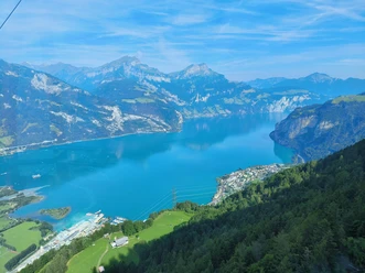
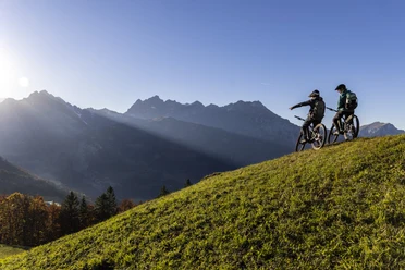
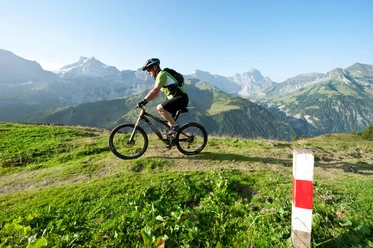
The ascent to Haldi is along the steadily rising forest road, mostly in the shade. At the Figstuel homestead, there is a first opportunity to enjoy the breathtaking view of Lake Uri. The path then leads you along lush flower meadows to Oberfeld, at 1446 m the highest point of your route. Surrounded by the surrounding mountains, a short break is recommended before you take the attractive singletrail via Billenwald under your wheels. The path leads you across attractive pastureland past the Billentrog, the place of power: Take a sip of the water and enjoy the silence for a short moment. At Schwandiberg, a 3 km long detour to the Schilt viewpoint is recommended. The climb is demanding, but you will be rewarded with a fantastic view of the entire valley floor of Uri. Now you deserve a portion of Älplermagronen. This is a specialty of the Alpenrösli restaurant, located directly next to the Haldi chapel, which resembles a Norwegian stave church. To finish, enjoy the impressive descent through magnificent deciduous forest along the old forest path to Schattdorf.
- 4:24 h
- 27.26 km
- 999 m
- 999 m
- 447 m
- 1,446 m
- 999 m
- Start: Altdorf railway station
- Destination: Altdorf railway station
Good to know
Pavements
Best to visit
Directions
Tour information
Loop Road
Stop at an Inn
Additional information
Author
Markus Fehlmann
Organization
Verein Urner Wanderwege
Author´s Tip / Recommendation of the author
Map
Nearby


Download GPX file