Hike Entlen - Castle Chapel


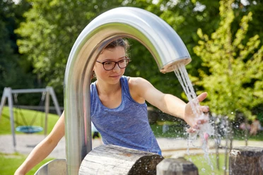
The hiking route starts at the Entlebuch train station and leads directly to the riverbed of the Große Entlen, which gave the valley its name. You walk through the forest and listen to the babbling of the river. At Farbschachen is the versatile energy playground with a barbecue area. On the next short stretch, you cross the Entlen twice via a charming wooden bridge. Two info boards offer fascinating information about the former small hydroelectric power plant.
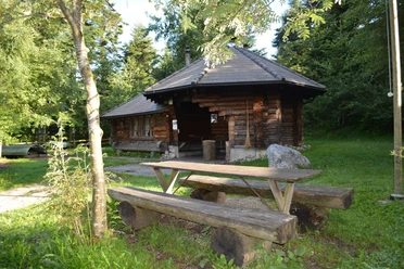
After crossing the main road, you reach Farbsäge and shortly after enter the unique 19th-century Kanalweg. The impressive canal winds along the rock walls. Once the terrain opens up again, you will even come across a climbing garden and a barbecue area. At the canal entrance, you find a wetlands area of national significance.
Then follows a steep climb through the forest up to the former castle site with the chapel. Cuboid stones were found as relics of a former castle. The barons of Wolhusen built a stronghold on the hill above the confluence of the Entlen and the Burgbach. On its ruins stands a chapel, inaugurated in 1975.
On the way back, the romantic Burgbach draws attention first; in the Bachwil area, the wind turbines to the right are fascinating.
- 1:30 h
- 4.73 km
- 152 m
- 152 m
- 680 m
- 832 m
- 152 m
- Start: Entlebuch train station
- Destination: Entlebuch train station
Good to know
Pavements
Best to visit
Directions
Train station – Rütrimatt – Treie – Farbschachen – Farbsäge – Kanalweg – Burgchäppili – Bachwil - Train station
Marking: The route is for the most part marked as a hiking trail, with separate markings for Kanalweg and Burgweg.
Tour information
Loop Road
Equipment
Good footwear, rain jacket & enough drinking water for the trip are essential for every hike.
More tips for safe hiking, information about suckler cow herds and guardian dogs, and much more can be found on the Swiss Hiking Trails website.
Directions & Parking facilities
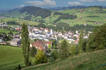
The UNESCO Biosphere Entlebuch is located in the heart of Switzerland, centrally between Bern and Lucerne. You can reach Entlebuch via main road 10. From Sarnen, drive over the Glaubenberg Pass to Entlebuch.
Plan your route using the Google route planner.
A paid parking lot is available at the Entlebuch train station or Business Park.
You can reach Entlebuch by public transport via the Bern-Lucerne rail line.
Plan your trip with the SBB Online Timetable.
Additional information
Literature
Author
UNESCO Biosphäre Entlebuch
Organization
UNESCO Biosphäre Entlebuch
Author´s Tip / Recommendation of the author
The mystical atmosphere along the Kanalweg.
Safety guidelines
Very steep ascent from the Kanalweg to the castle chapel. Caution when wet: The castle path is to be used uphill only.
Path along the canal has a railing only on one side, closed in winter due to falling ice.

Nearby

Download GPX file