Pazolastock (Oberalp Pass - Pazolastock - Andermatt)


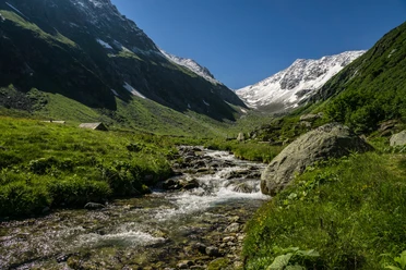
The ascent starts at Oberalp Pass Station on a well-marked path towards Pazolastock. Along the way, there is a stunning view of Survela, the mountains around Gütsch, and the Ursern Valley. The last section leads along a narrow path along the ridge to the summit. There, hikers are rewarded with a wonderful panoramic view. On the way back, the same path along the ridge is taken to the Pazola Pass, where a path on the left leads to Andermatt. Then, the wider hiking trail runs on the west side to Nätschen Station and continues to Andermatt. Alternatively, you can take the same path back to the Oberalp Pass, which is a somewhat shorter distance.
- 4:30 h
- 11.83 km
- 700 m
- 1,293 m
- 1,436 m
- 2,739 m
- 1,303 m
- Start: Oberalp Pass Station
- Destination: Andermatt Station
Good to know
Pavements
Best to visit
Directions
Tour information
Loop Road
Nature Highlight
Summit
Tour with Dog
Equipment
- Clothing appropriate for the weather
- Good footwear
- Trekking poles are recommended
- Binoculars
- Camera
- Day backpack
Directions & Parking facilities
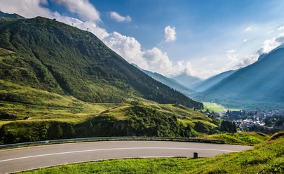
By car, hikers can reach the starting point via the Oberalp Pass from Andermatt or Sedrun. However, it is recommended to park the car in Andermatt and take the train to the Oberalp Pass, as the start and end points are not the same.
If you choose the alternative route and therefore go back from Pazolastock to the Oberalp Pass instead of to Andermatt, you travel from Andermatt up to Nätschen and then further to the Oberalp Pass along the Oberalp Pass road.
It is recommended to park the car in Andermatt and take the train to the Oberalp Pass, as the start and end points are not the same. In Andermatt there are parking facilities directly at the station. Alternatively, there are also parking spaces at the Oberalp Pass.
Hikers can reach the Oberalp Pass by train from Andermatt or Sedrun. The timetable is as follows: Matterhorn Gotthard Railway
Additional information
For further questions, please contact: Ferienregion Andermatt, +41 41 888 71 00, [email protected]
Author
Andermatt-Urserntal Tourismus GmbH
Organization
Région de vacances Andermatt
Author´s Tip / Recommendation of the author
- Lighthouse on the Oberalp Pass
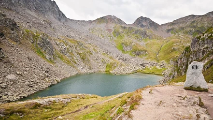
- Route extension with Lake Toma and back to Oberalp Pass
- Alternative route: return to Oberalp Pass
Safety guidelines
Hikers should keep an eye on the weather forecast in advance, as parts of the hike are above 2000 m.a.s.l. and there may be light snowfall in extreme cases.

Nearby


Download GPX file