Pörterwald - Fluonalp - Mändli


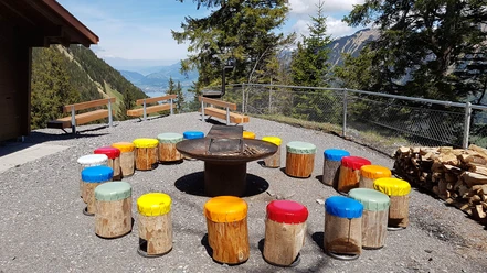
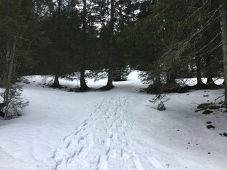
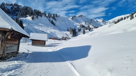
From the PostBus stop Pörterwald, you reach the Lengegghütte at point 1551 via the mountain road over Hinter Brosmatt, where a break is worthwhile – in winter, however, without catering. From there and further up, a dreamlike view opens up over the Sarneraatal and its mountain range with Pilatus, Rigi, Stanserhorn, and Arvi on the horizon. You continue on the mountain road to Fluonalp. From there, the path ascends over gently rolling terrain to Dundelegg at point 1726 and then westwards over Rückenegg, always following the ridge to the summit goal Mändli at point 2055. Throughout this ridge hike, the Bernese Alps are presented from their best side.
The return is via the same route.
In good, avalanche-safe snow conditions, from Rückenegg at point 1949, the wide slopes over Chringenboden and Chäseren, crossing to the left of the distinctive small valley below Rossflue, invite a direct descent to the Lengegghütte. From the Lengegghütte, the return follows the ascent track.
- 6:16 h
- 14.37 km
- 935 m
- 935 m
- 1,016 m
- 1,951 m
- 935 m
- Start: Pörterwald
- Destination: Pörterwald
Good to know
Pavements
Best to visit
Directions & Parking facilities
Author
Obwalden Tourismus
Organization
Obwalden Tourismus
Safety guidelines
Nearby