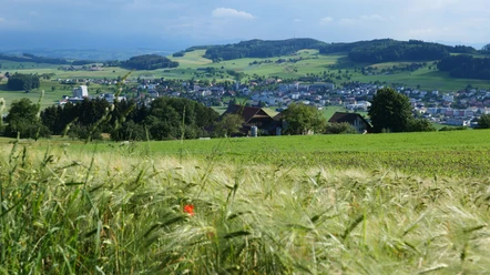
There and back on the Fusionsweg


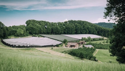
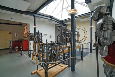
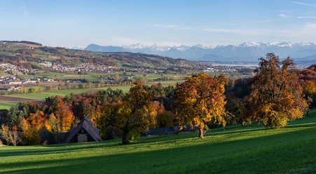
The route starts at the PostAuto stop Abzw. in Moosleerau along the Schöftland – Sursee line. It leads past older, former farmhouses to the shooting range and the road junction. There, follow the hiking trail signs towards Kulmerau. At the vehicle shed (end of the paved road), temporarily leave the hiking trail and ascend left on the lane to the forest edge. Along the forest edge, the path leads to a lane, which you follow, marked by hiking trail signs, to the next forest edge. From there, continue right on the lane to the signpost "Fusionsweg." Follow this path through the woods and over the hill ridge, first hiking on a forest lane, then on a paved lane above Kulmerau to the house and farm "Risi." In the farm shop in the barn (and with coffee), you can recover from the ascent before continuing to Nütziweid with the small, distinctive wind turbine and the observatory "Nova Solaris" of the Astro Club Solaris Aarau, as well as to the hamlet Hochrüti. From here, the descent passes the Löhnen to Schmiedrued. You can eat and rest at the Sternen inn. The weaving museum in the old schoolhouse with old looms, which are in operation during museum hours (note opening times), is also worth seeing. Immediately at the museum, the path branches off towards Cheermatt and the hamlet Eggschwilab. You cross this hill crest on the lane and arrive at Kirchrued with its small, neat valley church with valuable coat of arms panels. Continue along the main valley road to the bridge and then follow the Ruederchen creek into the village Schlossrued, with the impressive group of houses including the Restaurant Storchen and the castle mill. There, turn right and ascend on the lane to Schloss Rued, with a beautiful view over the Ruedertal, and further to the group of houses Batthof where you meet the hiking trail sign again. Follow this on the descent to Schlossrued, first through the forest and then on a scenic neighborhood lane to the main road and to the PostAuto stop at the school and community center. From there there is a PostAuto connection to Schöftland.
- 3:15 h
- 11.59 km
- 370 m
- 380 m
- 499 m
- 708 m
- 209 m
- Start: Bus stop "Mooslerau Abzw."
- Destination: Bus stop "Schlossrued Schulhaus"
Good to know
Pavements
- Street (18%)Asphalt (41%)Gravel (19%)Trail (20%)Path (2%)
Best to visit
- suitableDepends on weather
Directions & Parking facilities
- Public transportation
By public transport to the bus stop "Mooslerau Abzw."
Author
Aargau Tourismus
Organization
Aargau Tourismus
Map