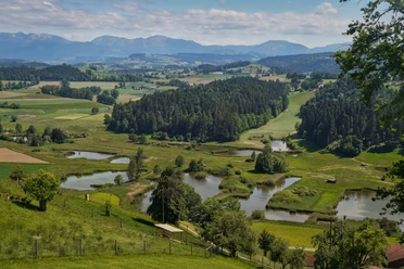
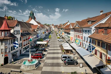
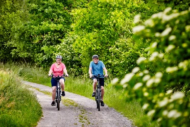
Circular route Willisau (National Hiking Day)

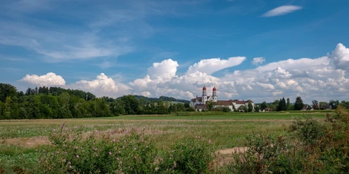
Start Old Town Willisau – Vor-Olisrüti – Chüeberg – Gettnau – Buttenberg – Schötz – Dachsenberg – Hostris – Ettiswil – Alberswil – Burgrain – Brestenegg – Wyher Castle – Grosswangen – Stettenbach – Wüschiswil – Ostergau – Willisau Wiggermatt – Ober-Farneren – Mörisegg – Hergiswil – Willisau
- 2:55 h
- 40.47 km
- 450 m
- 450 m
- 507 m
- 710 m
- 203 m
- Start: Old Town Willisau
- Destination: Old Town Willisau
Waypoints


Good to know
Best to visit
Tour information
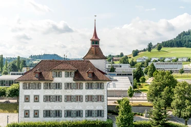
Cultural Interesting
Loop Road
Directions & Parking facilities
There are enough paid parking spaces available.
By train to Willisau
Additional information
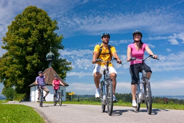
E-bikes and other bikes can be rented at Rent a Bike Willisau
Author
Willisau Tourismus
Organization
Willisau Tourismus
Author´s Tip / Recommendation of the author
The entire route runs over well-paved roads and paths, but does not always follow the marked bike routes. The route is hilly and runs along public roads. The route can be shortened at kilometer 28 in Willisau.
Nearby


Download GPX file