Erzegg Trail, Melchsee-Frutt


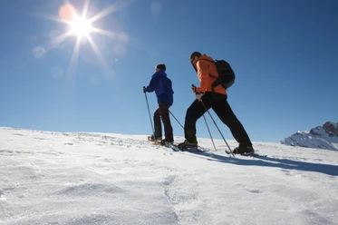
Start at the Melchsee-Frutt cable car mountain station and follow the winter hiking trail to the Dörfli, past the panoramic lift, via Distelboden, to the Bärghuis-Frutt. At the latest here, it’s time to put on your snowshoes.
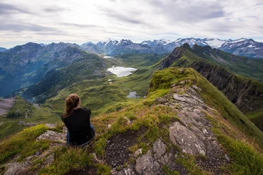
Along the marked route, it goes steadily uphill, with the intermediate goal Erzegg-Gumm always in sight. Once you reach the summit cross Gumm, enjoy the breathtaking view; the Melchsee-Frutt high plateau lies at your feet.
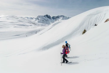
Then continue towards Tannalp, with the striking Graustock and the Titlis in the background, the walking is easy.
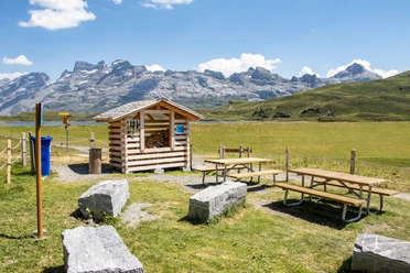
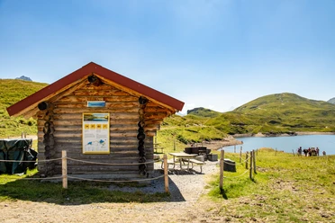
Via Fachshubel you reach Tannalp. Take a stop and let the unique silence wash over you – experience pure nature!
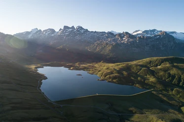
The return goes offset along the cross-country ski trail along the Tannensee and further below the Bonifelsen to the panoramic lift. Take the lift and look back roughly 40 meters above the Melchsee on your circular route before covering the last short section back to the cable car.
Snowshoe rental:
Snowshoes can be rented on site.
- 4:30 h
- 9.75 km
- 271 m
- 271 m
- 1,893 m
- 2,140 m
- 247 m
- Start: Melchsee-Frutt mountain station
- Destination: Melchsee-Frutt mountain station
Waypoints
Good to know
Best to visit
Directions
Tour information
Loop Road
Directions & Parking facilities
From Lucerne, take the tunnel onto the A8 towards Interlaken, change to Sarnen, and then continue on the A8 to the exit Sarnen Nord, Kerns. Use the left lane at the exit towards Kerns.
From Interlaken via Brünig on the A8 to the exit Sarnen Nord, Kerns. At the exit, merge right and turn towards Kerns.
Follow the road through the villages of Kerns, St. Niklaus, and Melchtal to the end of the valley at Stöckalp.
Additional information
Current information about the snow conditions can be found at www.melchsee-frutt.ch
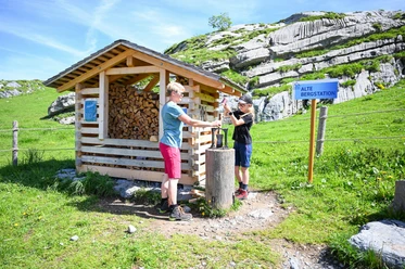
Signage: The route is marked with marker posts.
Author
Obwalden Tourismus
Organization
Obwalden Tourismus
Nearby
Download GPX file