Gerschni Loop

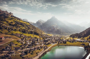
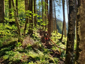
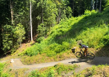
A varied trail leads you from the Bänklialp through the Gerschniwald forest to the Gerschni plateau. On the Gerschni you cross the plateau between cow meadows, forests and moors. From Untertrübsee you descend on old stairs and paths back to the valley.
- 1:41 h
- 9.17 km
- 308 m
- 308 m
- 995 m
- 1,260 m
- 265 m
- Start: Bänklialp
- Destination: Stapfmattli
Waypoints
Start
Destination
Good to know
Pavements
- Street (19%)Asphalt (12%)Trail (54%)Path (15%)
Best to visit
- suitableDepends on weather
Directions
- Bänklialp, Gerschni, Untertrübsee, Stapfmattli
Tour information
Circular trail
Author
Engelberg - Titlis Tourismus
Organization
Engelberg-Titlis Tourismus
Author´s Tip / Recommendation of the author
- ski jump, high moor, alpine cheese dairies Gerschni & Untertrübsee
Nearby

Download GPX file