Hochstammland Route


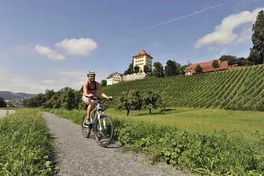
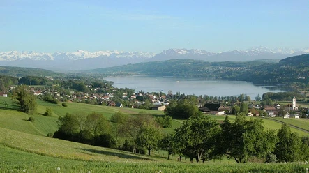
The cycling route takes you past the high-stem fruit trees of Gelfingen via Richensee up to Herlisberg. Then the route runs along the ridge via Römerswil to Rain. From Rain, follow the Heart Route to Hünenberg. Then it goes from Sins to Abtwil and finally back to Gelfingen via Hochdorf.
- 4:18 h
- 58.16 km
- 636 m
- 640 m
- 396 m
- 753 m
- 357 m
- Start: Gelfingen, train station
- Destination: Gelfingen, train station
Waypoints


Good to know
Best to visit
- suitableDepends on weather
Directions
Gelfingen - Richensee - Herlisberg - Römerswil - Traselingen - Rain - Urswil - Eschenbach - Dietwil - Hünenberg - Sins - Abtwil - Ottenhusen - Hochdorf - Nunwil - Retschwil - Richensee - Gelfingen
Follow the signage of SchweizMobil routes: 84, 67, 99, 77, 94, 56
Tour information
Circular trail
Directions & Parking facilities
- Public transportationBy S9 from Lucerne or Lenzburg to Gelfingen.
Additional information
Seetal Tourism
Niederlenzerstrasse 25
5600 Lenzburg
+41 (0)41 920 45 29
[email protected]
www.seetaltourismus.chAuthor
Seetal Tourismus
Organization
Seetal Tourismus
Author´s Tip / Recommendation of the author
Try the regional products of Hochstamm Produkte GmbH: www.hochstamm.ch
The route is especially beautiful in spring during the "Bluescht" (blossom time)!
Nearby




Download GPX file