Nidwalden High Trail: Stage 1, Stanserhorn–Storeggpass


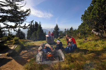
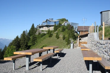
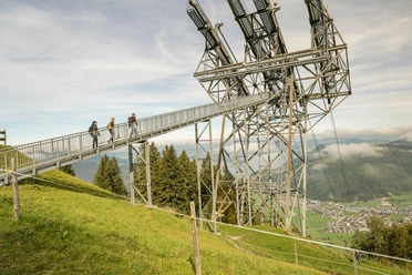
To reach the start of the route, take the vintage funicular and CabriO cable car from Stans up to the Stanserhorn. High up at around 1900 m above sea level, you can see almost the entire size of Lake Lucerne and the surrounding mountain world.
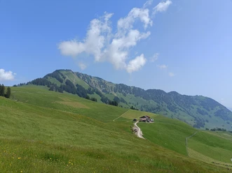
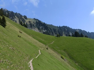
Now the summit circular path must be taken to the left. It follows the well-secured descent via Chrinnen to the Ächerli Pass. This can be reached in just over an hour. At Holzwang, a detour to the chapel of the same name is worthwhile. Then the ascent towards Arvigrat is tackled. The view into the Engelbergertal and Sarneratal valleys is impressive. After a short descent, the path continues along the Gräfimatt ridge towards Laucheren. From here, the view opens into the Melch valley. A steep zigzag path leads up to Schluchberg. The upper section of the path is somewhat exposed. The path section is secured with a rope as a handrail. Then comes the key point of this stage, the rock notch Wagenleis (Charren). The small climbing section is also secured with a rope. The path continues over alpine pastures and, with some luck, alpacas can be spotted along the way. The alpacas protect the sheep herds.
After a gentle descent, you reach the Storeggpass.
- 5:10 h
- 12.67 km
- 905 m
- 1,036 m
- 1,395 m
- 2,088 m
- 693 m
- Start: Stans
- Destination: Storeggpass
Waypoints
Good to know
Pavements
Best to visit
Directions
Stanserhorn – Ächerlipass - Arvigrad - Gräfimattnollen - Schluchberg - Storeggpass
Tour information
Mountain Railway Tour
Equipment
Weather-appropriate clothing and good hiking boots are recommended.
Directions & Parking facilities
Additional information
For tourist information: Nidwalden Tourism
Author
Nidwalden Tourismus
Organization
Nidwalden Tourismus
Author´s Tip / Recommendation of the author
The fastest way back to Stans is by the small cable cars Luftseilbahn Rugisbalm and Mettlen. From the valley floor, it is about a 20-minute walk to the Grafenort railway station. The hike is also possible in the opposite direction.
Accommodation option near Storeggpass is Alp Oberlachen
Safety guidelines

Nearby


