Seetal Heart Loop East Branch - Switzerland Mobility Route 599


- 5:00 h
- 47.46 km
- 639 m
- 703 m
- 400 m
- 861 m
- 461 m
- Start: Eschenbach, Train Station
- Destination: Lenzburg, Train Station
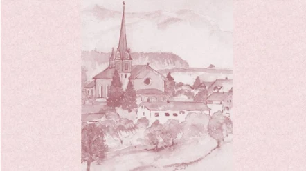
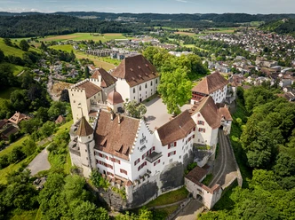
Unexpectedly, right at the beginning of the route stands the impressive Eschenbach Convent. Sisters have lived in the Cistercian Abbey since the 13th century. The Knights Hospitaller Commandery Hohenrain, which you will encounter on the way to Horben, is a little older. The Horben, at 878 m above sea level, is the highest elevation of the Lindenberg, which is why you can often enjoy a lunch above the fog in the Horben alpine inn even in autumn. On the ride over the ridge of the Lindenberg to Seengen and Hallwyl Castle, you will repeatedly catch a view of Lake Hallwil. The last part of the route runs along the Aabach. An educational trail with panels at the original locations recalls the history and development of industrial culture along the Aabach.
Waypoints

Good to know
Best to visit
- suitableDepends on weather
Directions
- Eschenbach LU - Ballwil - Hohenrain - Beinwil (Freiamt) - Mueswangen - Schongau - Bettwil - Sarmenstorf - Hilfikon - Seengen - Hallwyl Castle - Lenzburg
Tour information
Refreshment stop
Equipment
E-Bike Reservation
https://www.rentabike.ch/rent-und-touren/reservation-tagesmiete or +41 (0)41 921 05 75
Rental Stations
Battery Charging Stations
Additional information
Seetal Tourism
Niederlenzerstrasse 25
5600 Lenzburg
+41 (0)41 920 45 29
[email protected]
www.seetaltourismus.chAuthor
Seetal Tourismus
Organization
Seetal Tourismus
Safety guidelines
- The entire route is designed for travel with e-bikes. Riding with bikes without motor assistance requires good fitness and is unsuitable for bike trailers.
Map