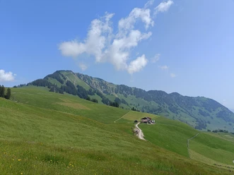
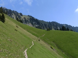
Stanserhorn summit route


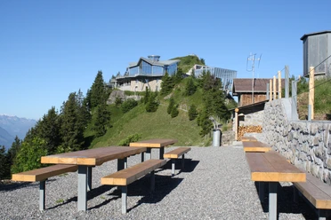
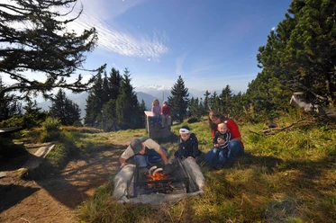
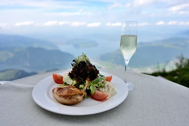
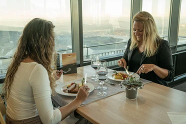
Only thirty minutes of walking time is to be calculated for the summit route – but that is far too little to look from the “Adlerhorst” towards Brünig, to discover the Mönch left of the Eiger, watch the marmots, and feel the 22,000 bovine units. Visiting the revolving restaurant Rondorama or the sun terrace is part of the excursion to the Stanserhorn.
The path from the mountain station to the summit of the Stanserhorn can also be explored virtually here!
- 0:30 h
- 1.16 km
- 66 m
- 66 m
- 1,831 m
- 1,895 m
- 64 m
- Start: Stanserhorn mountain station
- Destination: Stanserhorn mountain station
Waypoints
Good to know
Pavements
Best to visit
Directions
Tour information
Loop Road
Mountain Railway Tour
Nature Highlight
Summit
Equipment
Good footwear and weather-appropriate clothing are recommended
Directions & Parking facilities
Take the A2 motorway to the Stans-Nord exit. Then follow the signs to the Gemeindeparkplatz Turmatt or the station parking.
The valley station of the Stanserhorn-Bahn is located in the center at Stansstaderstrasse 19. From Lucerne, you are in Stans in about 15 minutes.
The parking offer is limited, all parking spaces are subject to fees.
By train (Zentralbahn) from Lucerne to Stans
Additional information
Nidwalden Tourismus
Bahnhofstrasse 10
6370 Stans
+41 41 610 88 33
[email protected]
nidwalden.com
Visit nidwalden.com/culinary-hikes for more gastronomy from Nidwalden.
Nidwalden recipes to try out: nidwalden.com/recipes
Author
Nidwalden Tourismus
Organization
Nidwalden Tourismus
Author´s Tip / Recommendation of the author
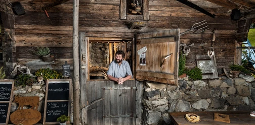
By far the most ordered here are the Älplermagronen, made from ingredients from the region and the Alpine area - 18,000 portions are enjoyed per season on the Stanserhorn. You can enjoy the sun on the sun terrace or on the large summit meadow.

Nearby


Download GPX file