Via Alpina C7: Altdorf – Engelberg


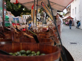
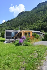
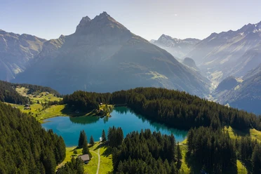
This crosses 14 of the most beautiful Alpine passes. Through 6 cantons of Switzerland and the Principality of Liechtenstein, we encounter diverse culture, geology, and topography. Wide roads end in airy ridge paths. One of the most diverse floras and faunas in the world lines the path. Quiet relaxation phases alternate with thriving tourist locations. The ultra-modern Alp with pipelines and its showroom are also on the way, as is the alpine hut where pigs, goats, and cows watch the alpine herder at work. Shifts, thrusts, subsidences, and rock falls bear witness to interestingly structured geology. Breathtaking panoramas alternate with small beauties along the path and gastronomy offers versatile delicacies.
Stage Altdorf - Engelberg
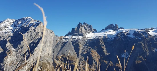
The start of the stage across the Reuss Valley is suitable for warming up, as from Attinghausen at 494 m above sea level begins a relentless ascent up to the Surenen Pass at 2291 m above sea level. However, so that not only the tireless young can enjoy this stage to Engelberg, the locals have built an aerial cableway that takes us from Attinghausen in two sections in a very short time up to Brüstli at 1525 m above sea level, if we want to simplify the steepest part of the ascent.
From Brüstli, we hike over a scenic ridge path to the historic Surenen Pass. Afterwards, the path leads us downhill through the Blackenalp basin until we reach the stage location Engelberg past the famous Benedictine monastery. Shortly before, we crossed the border from the canton of Uri to the canton of Obwalden. This stage takes us up to the train station.
- 10:45 h
- 29.62 km
- 1,809 m
- 1,269 m
- 449 m
- 2,291 m
- 1,842 m
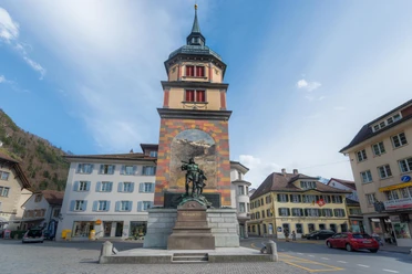
- Start: Altdorf, Tell Monument
- Destination: Engelberg
Good to know
Pavements
Best to visit
Directions
Tour information
Stop at an Inn
Organization
Engelberg-Titlis Tourismus

Nearby


