Tell-Trail


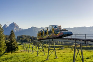
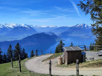
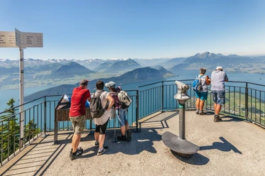
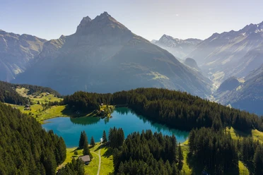
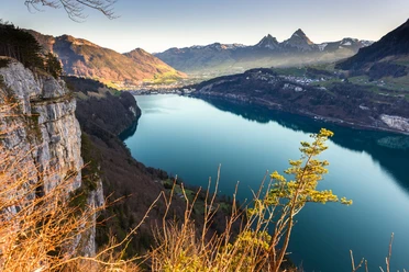
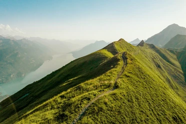
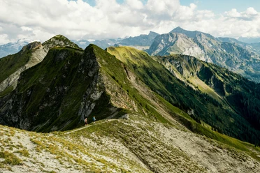
The new "Tell-Trail" leads in eight stages from Altdorf to the Brienzer Rothorn. On this long-distance hiking route, you hike over the "Big 6" of Central Swiss peaks (Stoos, Rigi, Pilatus, Stanserhorn, Titlis, and Brienzer Rothorn) past idyllic mountain lakes and through historic villages. The spectacular mountain panorama is a faithful hiking companion. The individual stages are also suitable as day trips with friends or family and can optionally be shortened by mountain railways and public transport (the Lucerne Travel Pass is the suitable ticket for this). And these mountain railways are impressive: Whether the steepest cog railway in the world, the oldest mountain railway in Europe, or the world's first revolving aerial cableway, the Lucerne-Lake Lucerne region is home to spectacular record-breaking railways.
Stage 3: Brunnen - Rigi Kaltbad - Lucerne
- 192:00 h
- 208.16 km
- 14,142 m
- 13,441 m
- 429 m
- 2,328 m
- 1,899 m
- Start: Tell Monument Altdorf
- Destination: Sörenberg, Post
Waypoints
Good to know
Pavements
Best to visit
Directions
Tour information
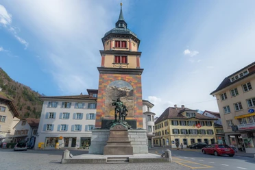
Cultural Interesting
Mountain Railway Tour
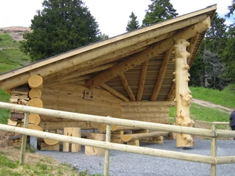
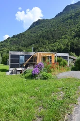
Stop at an Inn
Equipment
Additional information
With train/ferry/bus
- Distance = 207.3 km
- Ascents = 13,658 m
- Descents = 12,956 m
Without train/ferry/bus
- Distance = 156.3 km
- Ascents = 7,126 m
- Descents = 8,176 m
Author
Luzern Tourismus
Organization
Lucerne Tourisme
Safety guidelines
T3 demanding mountain hiking.
Good surefootedness
Average orientation skills
Basic alpine experience

Nearby


Our recommendations


